Visualization
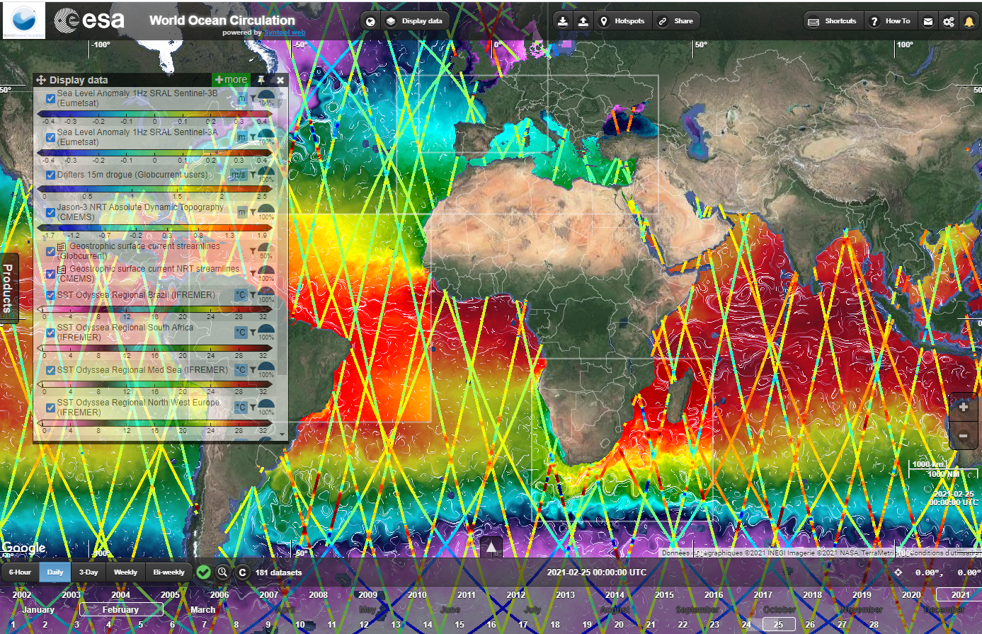
Syntool is an open source web solution aiming at promoting the synergistic use of Ocean Remote Sensing data in a wider context of Oceanic and Atmospheric models or in-situ data. It is developed by OceanDataLab which features a Web portal for the interactive visualization of satellite data, in-situ measurements and numerical simulation results. This tool is a discovery tool (visualization) as well as an expertise tool as it proposes a lot of functionalities that allow to play (pre-process, compare, superimpose) with all kind of products type.
One version of SynTool will be deployed for the WOC project. This version will be dedicated to the experts (scientists). It is also foressen to deploy one instance of Syntool for each WOC Themes in order to provide a more friendly and more specific products and interface tho the applications domain in relation to the theme (ready in april 2022).
Click on the link below to access to the syntool expert version.